
Localization: put your points on the site's control
When a surveyor has already set control on a site, your RTK coordinates and theirs will rarely match exactly. Localization fits your measurements to their control, so everything you collect lines up with the job.
- What localization does
- When you need it, and when you don't
- How to do it in Emlid Flow
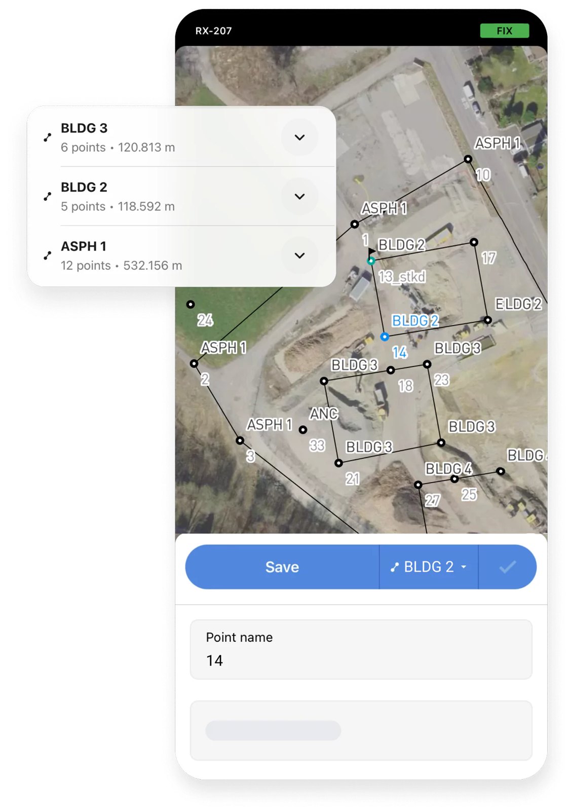
Same points, two sets of coordinates.
Measure a site's control points with RTK and you get the RTK network's coordinates. The control sheet has the coordinates the surveyor set. Localization compares the two sets and works out the shift, rotation and scale that line them up, horizontally, vertically or both. Every point you collect after that comes out in the site's system.
- You need it with one receiver on a network RTK service, on a site with at least 4 existing control points
- You need it on a site in a local or assumed coordinate system
- You don't need it when your base sits on a site control point, assigned that point's coordinates
Import the site's control
Create the project in the site's coordinate system and import the control points: a CSV with point names, northings, eastings and elevations.
Measure each control point
Connect to RTK (Emlid Corrections or another network), level the rod on its bipod with tilt compensation off, and survey each control point for 30 seconds or more.
Use a minimum of 4 existing control points, spread around the site and NOT in a straight line. Points in a line only control the tilt along that line, which can leave a large tilt across it. Emlid recommends 5 to 10 where you have them.
Pair them up
Open Localization in the project's coordinate system settings and pair each control point with your measurement of it. For each pair, choose horizontal, vertical or both.
Read the residuals
Emlid Flow shows a residual for each pair. A large one points to a bad shot or a disturbed monument: exclude its horizontal or vertical part, or remove the pair.
Collect
Everything you survey or stake out from now on is in the site's system.
Localization questions we get
Do I need localization with a base and rover?
Not if the base is set up on one of the site's control points, with that point's coordinates. The base then ties everything to the site's control. Shooting a second control point with the rover is still a good check.
How many control points do I need?
A minimum of 4 existing control points, spread around the site and not in a straight line. The vertical fit is a tilted plane: it takes 3 points that are not in a line to set its tilt in both directions, and the 4th is your check. With only 3, the fit always looks perfect and a bad point cannot show up in the residuals. Emlid recommends 5 to 10 where you have them, and Trimble and Pix4D also recommend a minimum of 4.
I only have one receiver. How does the drone get on the site's control?
Localize first, survey your ground control, then set that same receiver up as the base for the flight, over a point you surveyed after the localization. Assign that point as the base point in the base settings and send corrections to the drone. The full workflow is here.
Stuck on a localization?
Call us with your control sheet in hand and we will walk you through it.