LiDAR360 MLS: from handheld scan to deliverable
GreenValley's software for handheld, backpack and vehicle LiDAR, including every LiGrip. Turn a walk-through into floor plans and facades, Revit models, trench as-builts, road condition reports or photo-real Gaussian Splatting, with more than 500 processing tools.
- Floor plans, facades and a Revit plugin
- Trench and pipeline as-builts
- Road condition and asset extraction
- 3D Gaussian Splatting
LiDAR360 MLS prices
Each package includes the Framework, so you only buy the package for the work you deliver. The Full Suite includes every module.
GreenValley list prices. Licenses are delivered by email as a license key; nothing ships.
Perpetual licenses: free updates within a version (for example 9.x to 9.y) and free major upgrades for 12 months after activation. After that a major upgrade is 20% of the new version's list price.
The BP and Geo modules include free upgrades for life. Annual licenses run 12 months.
Cluster computing
Run georeferencing, point cloud processing and 3D reconstruction across several machines. One master node, plus one engine license for each processing node.
Which package fits the job
Floor plans, facades and BIM
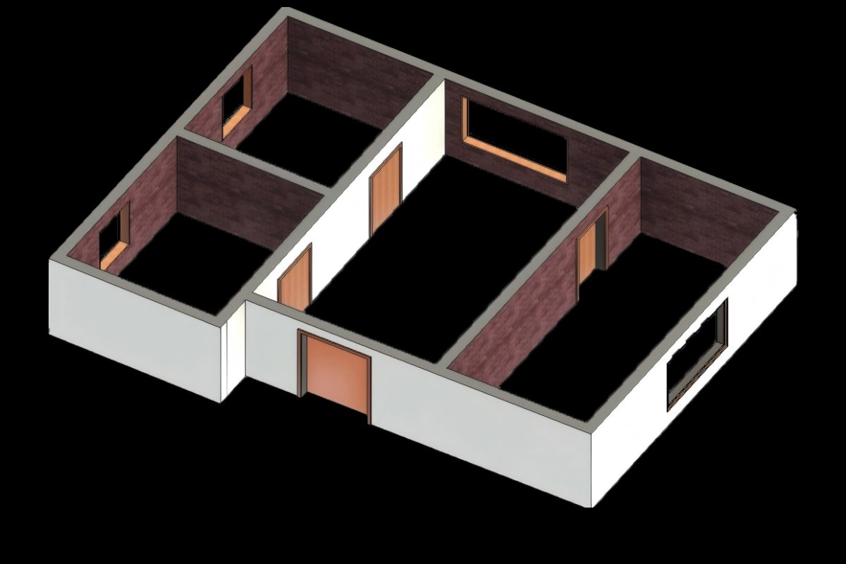
AI classification of indoor scans, automatic floor plan vectors with DXF export, facade survey, and a Revit plugin for walls, windows, floors and columns.
Photo-real 3D models
Gaussian Splatting from LiDAR and camera data, with editing, measurement and Unreal Engine export for walk-throughs and VR.
Utility as-builts
Pipe alignment and 3D trench geometry, elbows and tees, and one-click width, depth, earthwork and over- or under-excavation.
Pavement and road checks
AI pavement damage detection and PCI, road sections, clearance, visibility and vehicle passability, plus DEM and DSM.
Map features, automatically
AI extraction of more than 100 feature types, from road markings and signs to poles and buildings, with attribute editing.
Road models and street trees
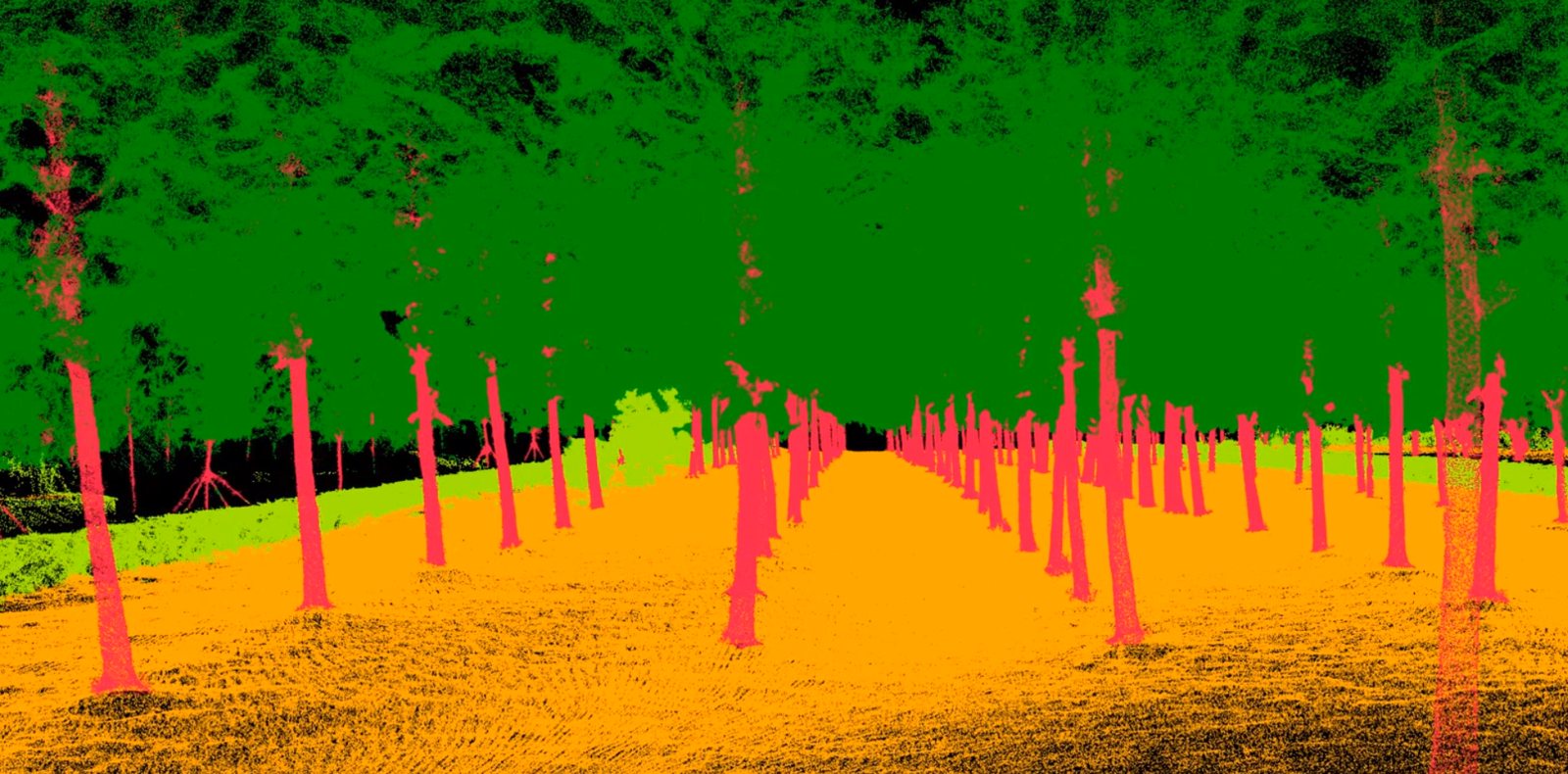
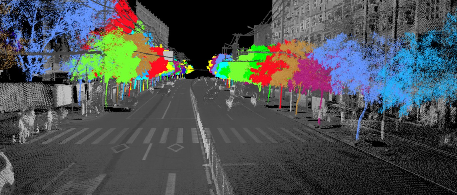
Component-level 3D road models in OBJ or OSGB, and street-tree inventory with 10+ parameters per tree.
Walk the building, deliver the drawings
Scan a building with a LiGrip, then let LiDAR360 MLS classify the rooms, vectorize the floor plan and export DXF. Facade survey tools and the Revit plugin take you from point cloud to model.
- Automatic floor plan vectors
- DXF export
- Facade survey with panoramic images
- Revit plugin for walls, windows and floors
Gaussian Splatting your clients can walk through
Fuse LiDAR and camera data into photo-real 3D models with seamless indoor and outdoor coverage. Edit, measure and classify the model, then take it into Unreal Engine for video, VR or real-time viewing. The LiGrip O2 Pro's 1-inch cameras make the most of it.
- Billions of points with level-of-detail rendering
- Clipping, profile and noise editing
- Measurement and classification
- Unreal Engine integration

Share the scan with a link
LiShare hosts point clouds, models, panoramas and Gaussian Splatting scenes in the cloud. Upload from the desktop software, then browse, measure, annotate and compare split-screen in a browser or on a phone.
Questions we get
I have a LiGrip. What do I already have?
Every LiGrip ships with a perpetual BP module, which turns your scans into point clouds. Add a package for the deliverable you need: AEC for drawings and BIM, Trench & Pipeline for utility as-builts, 3DGS for photo-real models.
Which software for stockpile volumes from a LiGrip?
Volumes, DEMs and contours are in LiDAR360: the Framework plus the Terrain module.
Do the packages include the Framework?
Yes. Each LiDAR360 MLS package includes the Framework, so one package is a complete license.
Perpetual or annual?
A perpetual license is yours to keep, with free updates within the version and free major upgrades for 12 months. An annual license costs less up front and runs for 12 months.
Not sure which LiDAR360 MLS package you need?
Tell us what you capture and what you deliver, and we will tell you straight which license fits.