
Greenvalley Intl
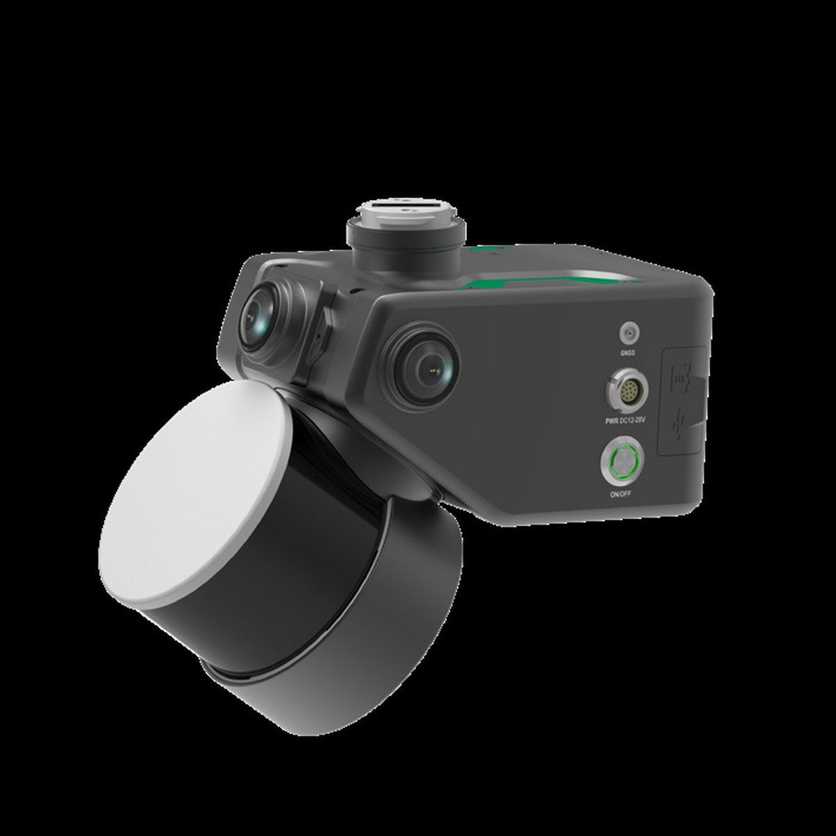
GreenValley LiAir X4 Plus Airborne + Handheld LiDAR
Or apply with BNC Finance
- Phone support from people who use the gear: (901) 444-0804
- Financing and leasing through Approve
- Quotes for larger orders
Details
One system for the drone and the ground. A 32-channel LiDAR, high-precision INS, a 26 MP mapping camera and three 12 MP panoramic cameras, with autonomous obstacle avoidance in the air and SLAM capture in handheld mode. Air and ground data fuse at centimeter level for complete 3D models.
- 32-channel LiDAR, up to 1,920 kHz (triple return), 300 m at 90% reflectivity
- Vertical accuracy under 5 cm at 100 m
- 1.6 kg, 360° × 270° field of view
- Handheld mode: absolute accuracy under 5 cm, point cloud thickness under 2 cm
In the package: main unit, handheld adapter, grip battery, LiGeoreference perpetual license and LiDAR360 MLS BP module perpetual license.
Questions about this product?
Call or send a note. We will tell you straight whether it fits your work.