Greenvalley Intl
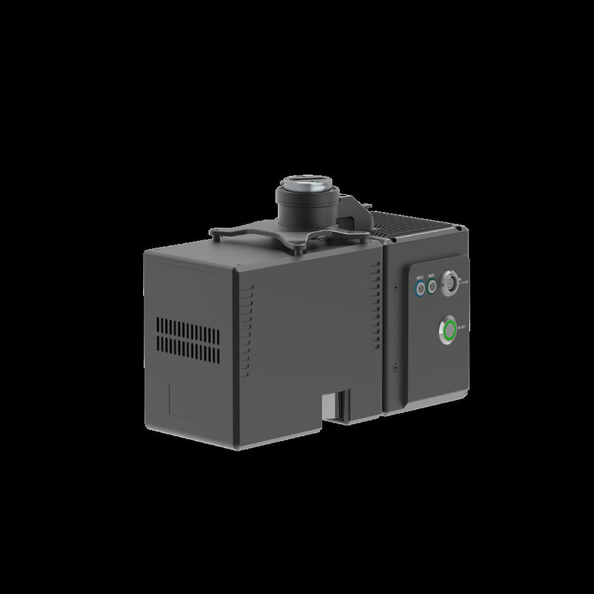
GreenValley LiAir H600 Pro UAV LiDAR
Or apply with BNC Finance
- Phone support from people who use the gear: (901) 444-0804
- Financing and leasing through Approve
- Quotes for larger orders
Details
A survey-grade, medium-range LiDAR system at 1.62 kg: up to 1,200 m range and 1,000,000 points per second, with a 26 MP mapping camera. Mounts on the DJI M300 / M350 RTK and M400, and starts and stops collection automatically at takeoff and landing.
- Range 450 m at 10%, 1,200 m at 80% reflectivity
- Vertical accuracy ±5 cm at 200 m
- Point cloud thickness under 3 cm
- Unlimited returns, 1550 nm
In the package: main unit, LiGeoreference perpetual license and a 1-year LiDAR360 Professional license.
Questions about this product?
Call or send a note. We will tell you straight whether it fits your work.