DJI Enterprise
DJI Terra Standard, 1 Year License (1 device)
Or apply with BNC Finance
- Delivered by email: your license key arrives in your inbox, nothing ships
- Phone support from people who use the gear: (901) 444-0804
- Financing and leasing through Approve
Details
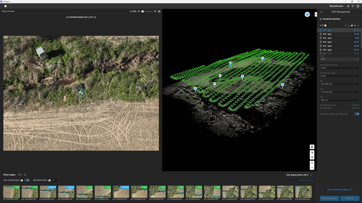
DJI Terra turns DJI drone photos and Zenmuse LiDAR data into survey deliverables on your own Windows PC. This is the Standard edition on a 1-year license for one computer. It activates online, so the computer needs an internet connection.
What the license unlocks
- Orthomosaics and surface models from drone photos, including multispectral maps
- 3D mesh models for realistic site models
- Terrain results for surfaces, contours and volumes
- Cluster computation to split large jobs across several computers
- Measure coordinates, distances, areas and volumes, and export in industry formats
LiDAR needs no license
Processing Zenmuse L2 and L3 LiDAR data in DJI Terra is free. It builds the point cloud and a DOM.tif orthophoto along with it. You need this license to build an orthomosaic or 3D model from photos on their own, whether they come from the L2, the L3 or any other drone.
Good to know
- Standard replaced the old DJI Terra Pro license in Terra version 5.
- Gaussian splatting and the power line tools are in the Flagship edition, not Standard.
- Need a license that works offline? Call us for the offline version.
- Terra needs a Windows PC with an NVIDIA graphics card.
Not sure which license fits your workflow? Call us at (901) 444-0804.
Questions about this product?
Call or send a note. We will tell you straight whether it fits your work.